Discover the Edo Shogun roads
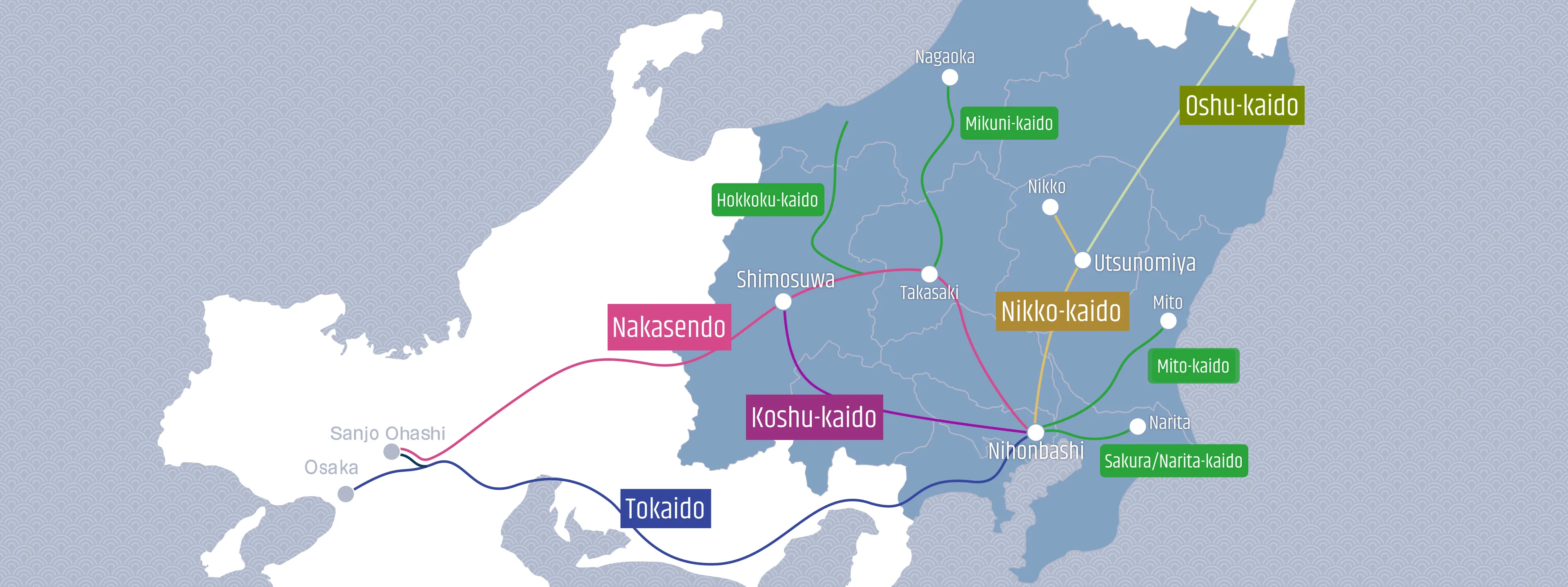
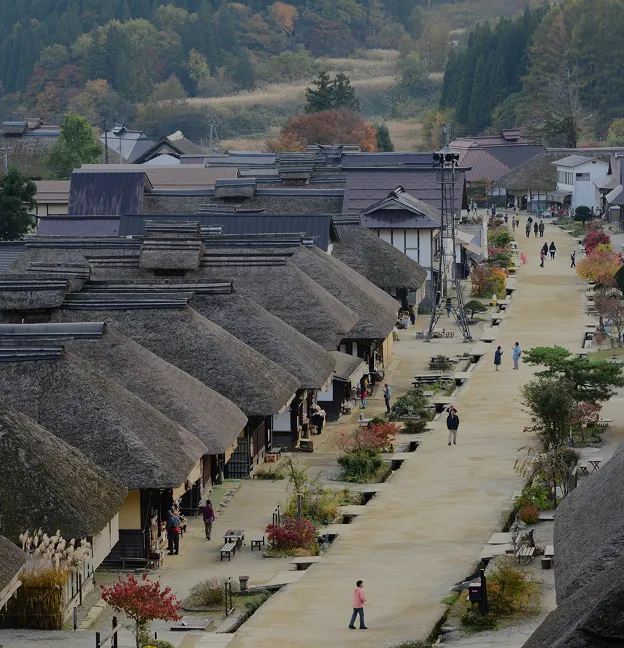
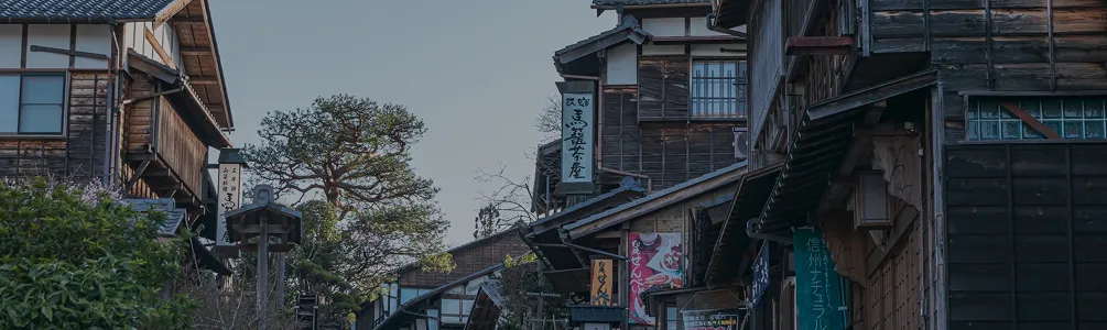
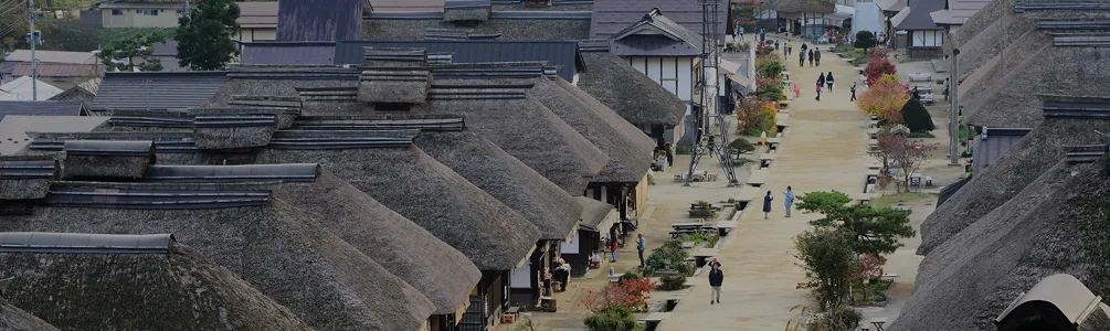
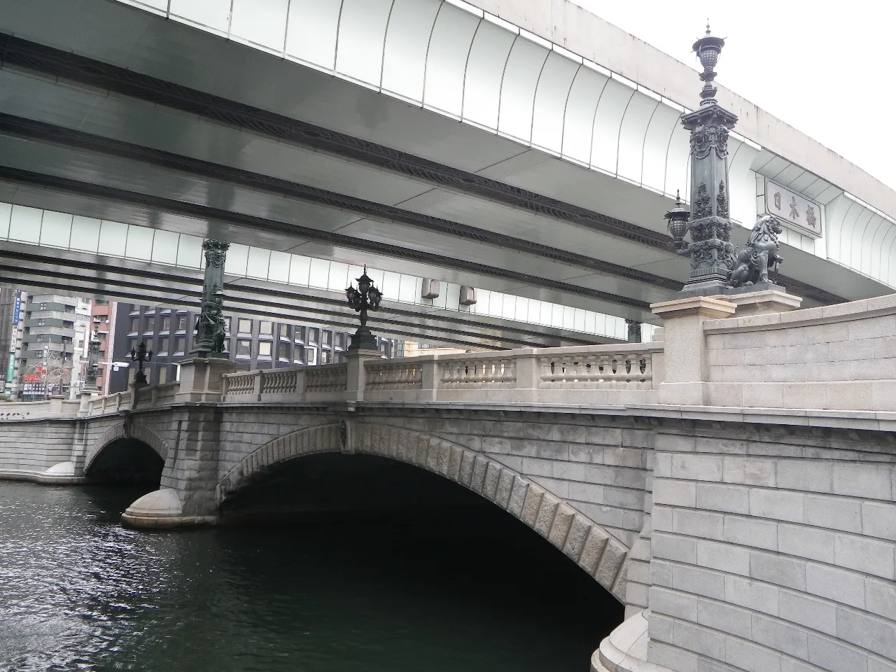
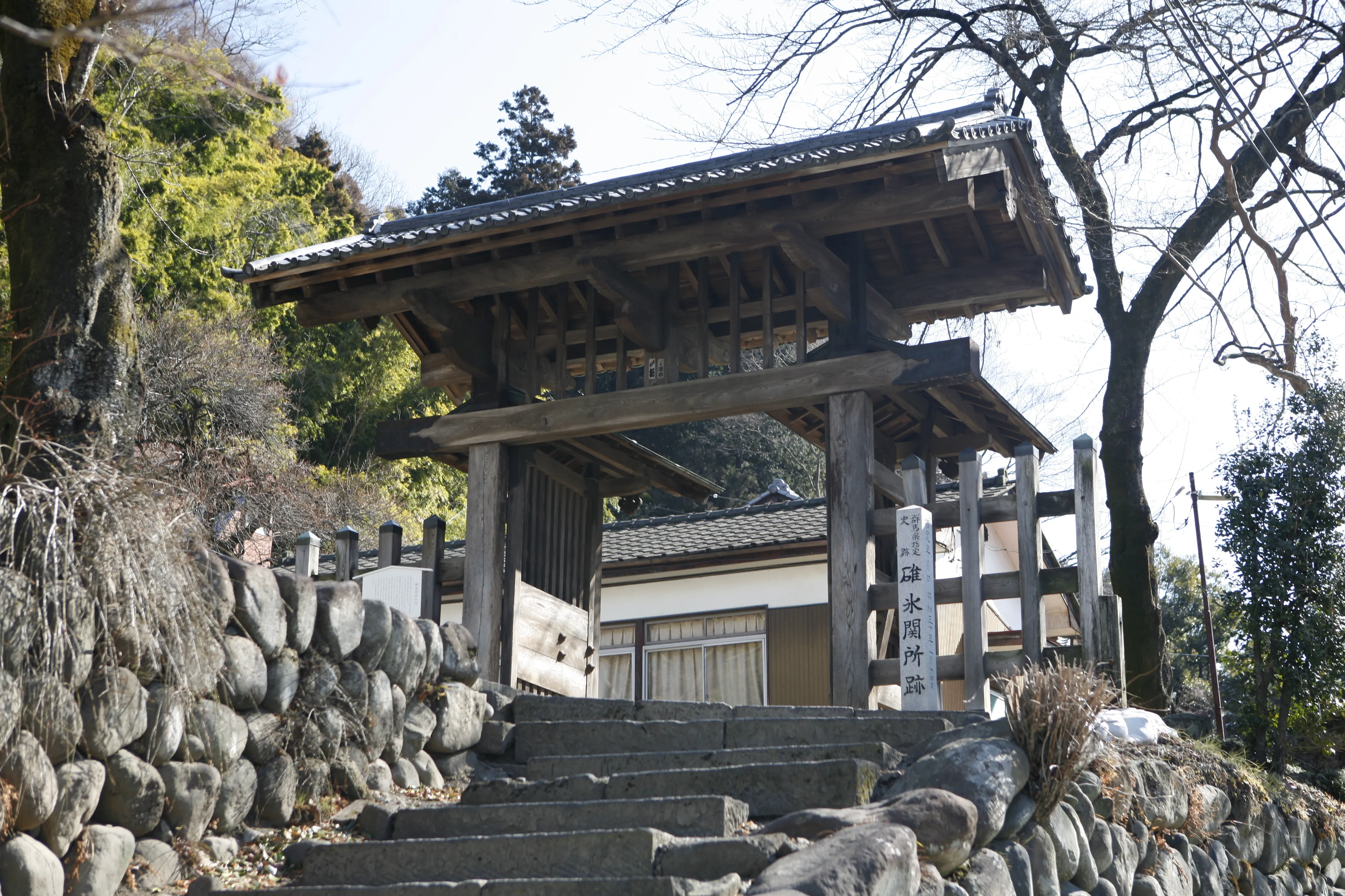
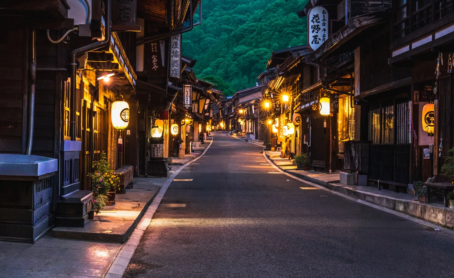
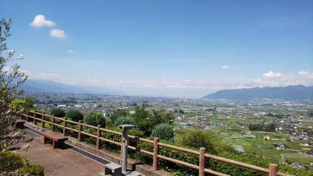
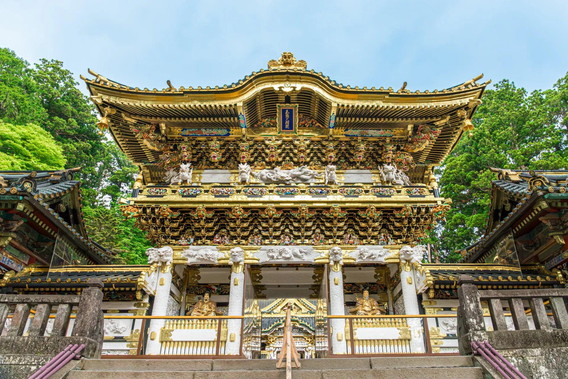
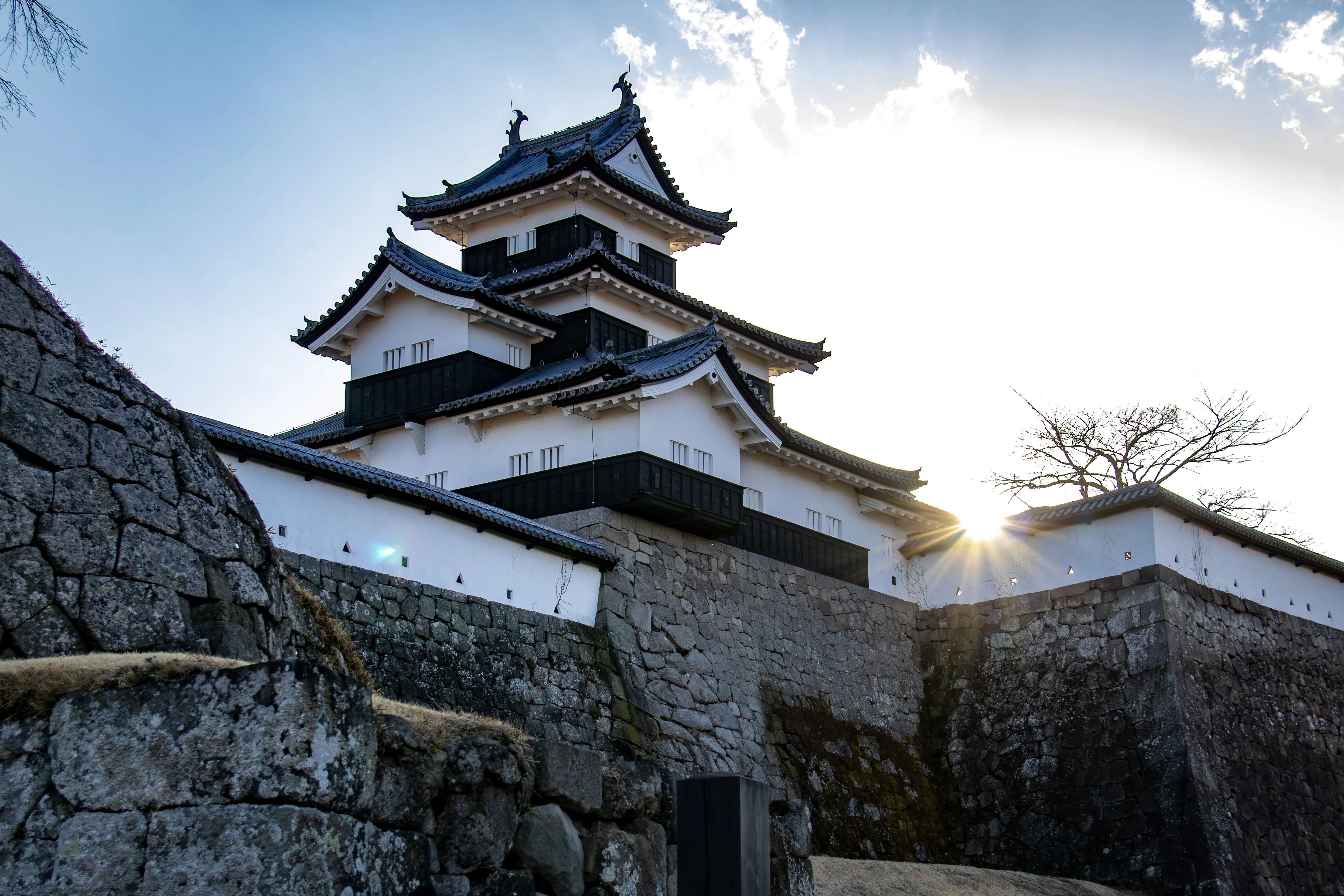
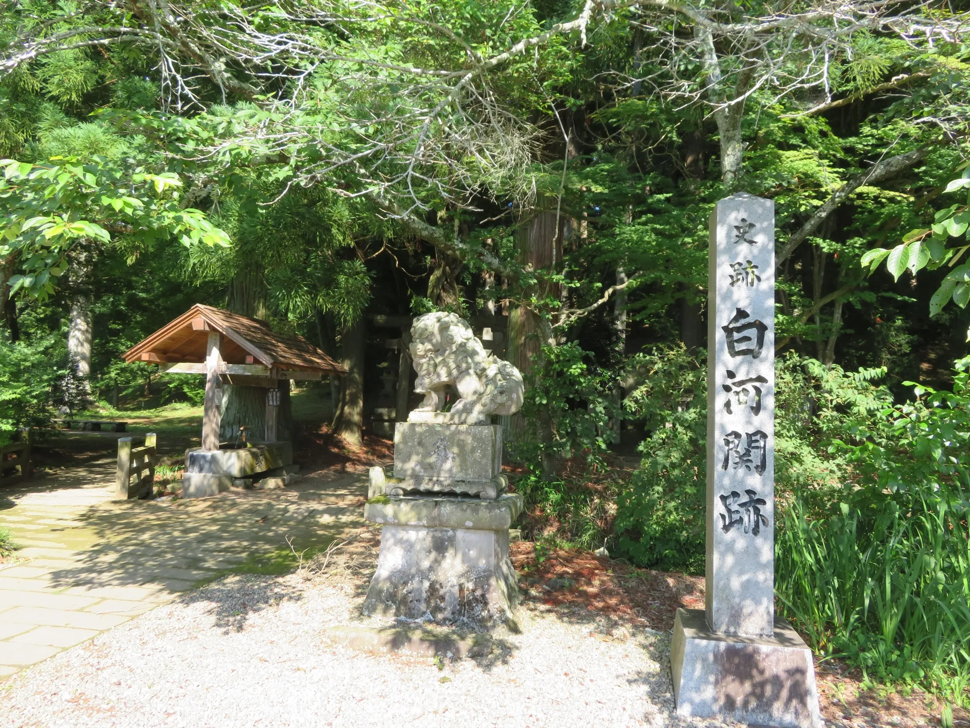
Did the Edo shoguns govern the country not through castles, but through roads? A key to answering this question lies in the Edo Shogun Roads (Edo Kaido), a network of highways developed during the Edo period. Radiating outward from Edo (present-day Tokyo), this major road system was established under the leadership of Tokugawa Ieyasu, the first shogun of the Tokugawa shogunate, as a transportation framework linking Edo with regional domains across Japan. All routes began at Nihonbashi, the official starting point of the road system at the time. At the core of this network were five major highways, including the Tokaido and the Nakasendo, which, together with branch routes such as the Mito Kaido and the Narita Kaido, formed the foundation of transportation in the period. The total length of this road system is estimated to have reached about 7,000 kilometers (about 4,350 miles), consisting of about 1,575 kilometers (around 979 miles) for the Five Major Roads and roughly 3,500 kilometers (about 2,175 miles) for the principal branch routes. Along these roads, shukuba (post towns providing rest and lodging for travelers) and sekisho (inspection checkpoints that regulated traffic) were established, supporting governance, official movement, and the system of sankin kotai, which required daimyo to alternate their residence between Edo and their home domains. Many of these historic roads later became the basis for modern national highways and continue to offer important insights into Japan’s regional history and culture today. Their practical use can still be glimpsed in the remains of post towns and checkpoint sites that survive along the old routes. From these traces, it is possible to sense how the roads functioned as political and logistical arteries linking Edo with the domains, and how travelers moved from one post town to the next, resting, eating, and staying overnight as they continued their journeys along the highways of the period.
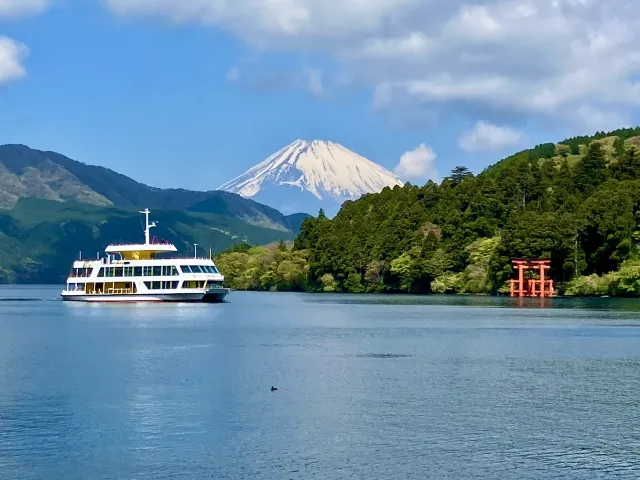
Tokaido
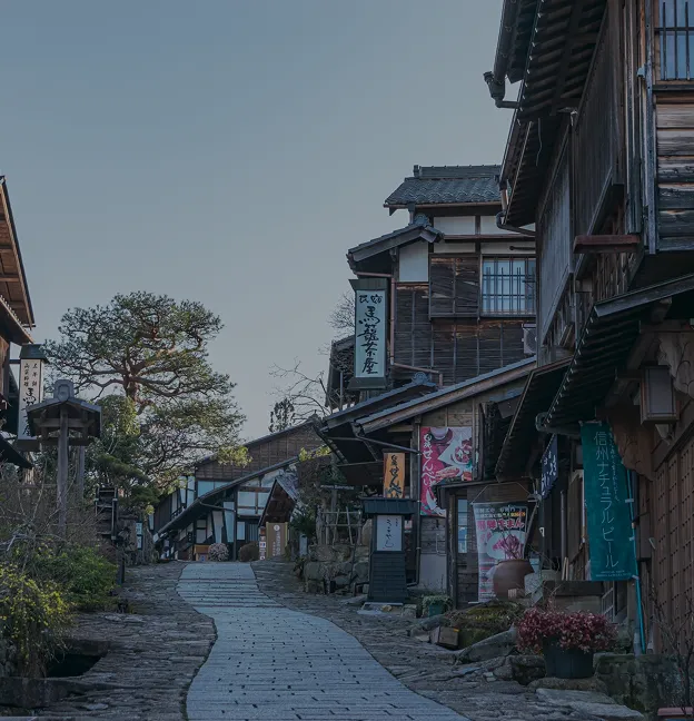
Nakasendo
Koshu kaido
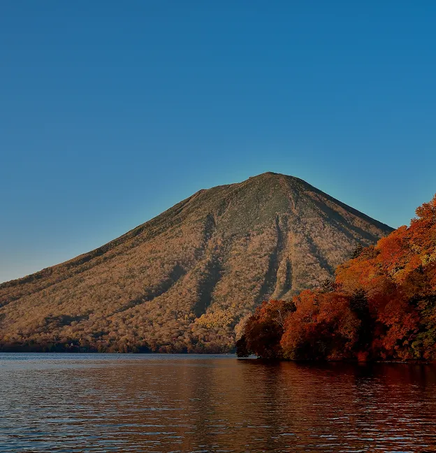
Nikko kaido
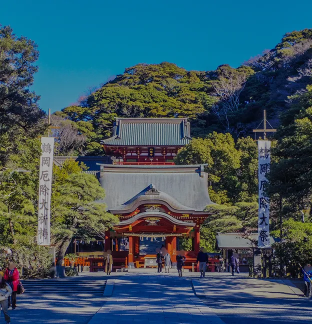
Oshu kaido
Main post towns of the Oshu kaido
Click to see the location on the map.