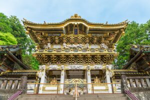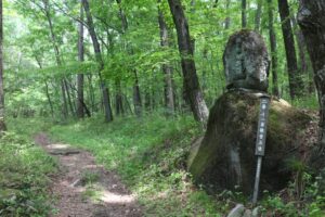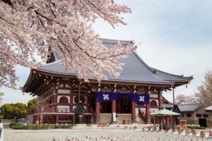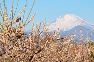
Winter / Tokaido, Boso Oukan & Uraga Michi / Green Route
An Edo-Style Circular Journey Traced through Woodblock Ukiyo-e Prints
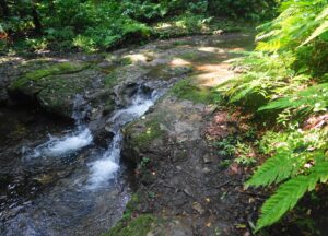
Green
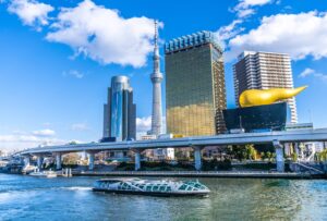
Tokaido
TOKYO
KANAGAWA