

Greater Tokyo

See & Do

reset
Old Hakone Highway Cedar-lined Road

Old Hakone Highway Cedar-lined Road

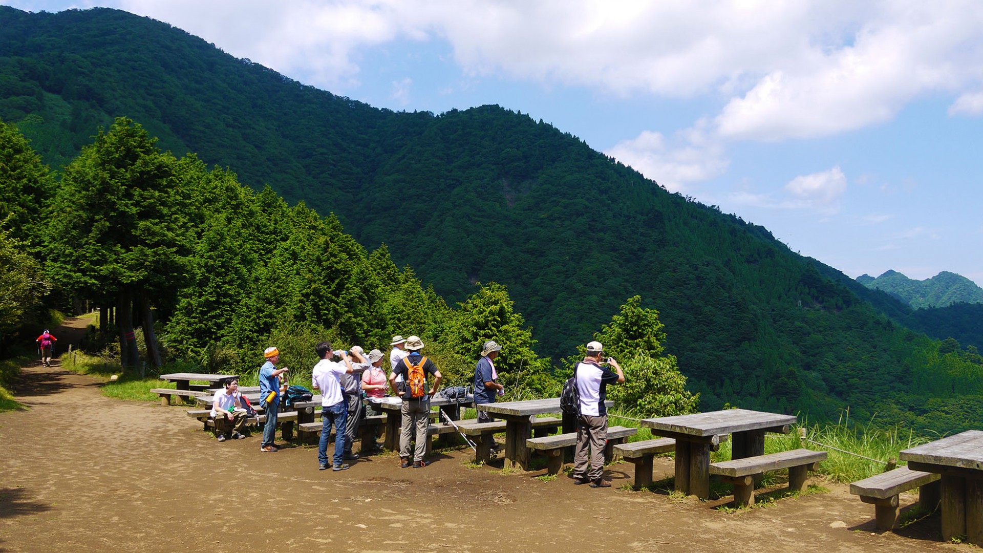
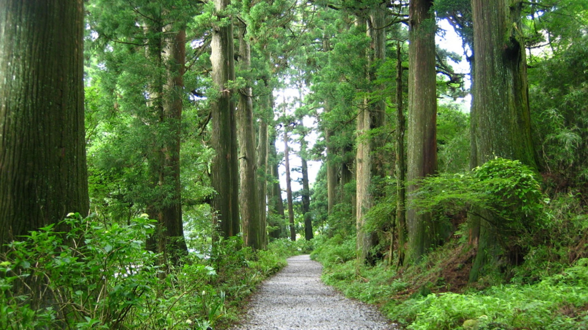
The Hakone Old Highway was once part of the Tokaido Highway, established by the Edo Shogunate at the beginning of the Edo period (1603-1867), and was known as the most difficult part of the Tokaido Highway to cross, stretching roughly 32km from Odawara-juku to Mishima-juku via Hakone-juku by Lake Ashi. Even today, some of the roadways from those days remain on the east (Hakone Town and Odawara City) and west (Mishima City and Kannami Town) sides of Mt. Hakone, where stone-paved paths, rows of pine and cedar trees, distance milestones, and even a reconstructed Hakone Sekisho (barrier) can still be seen. The cedar trees, which are found only along Lake Ashi, are believed to have been planted because they were suited to the climate of Mt. Hakone, whereas most of the trees along the highway are pine trees. Walking among the rows of cedar trees, some of which are more than 350 years old and some of which have grown up to 30 to 40 meters high, you are sure to experience the ancient highway as if an Edo-era traveler.This hiking path, as well as Hakone Shrine, are the two best places to see magnificent cedar trees. Descending is easier than the climb, but is tough on the knees.

Nature & Views Tokaido Koshu kaido KANAGAWA
Chigasaki Southern C

Chigasaki Southern C

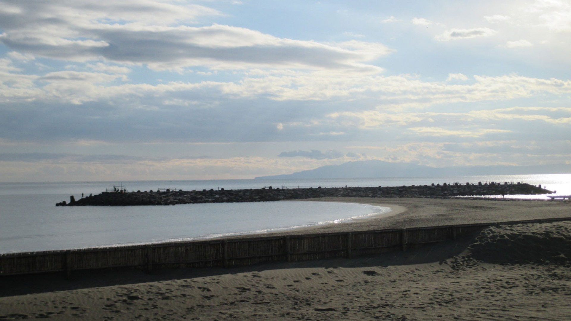
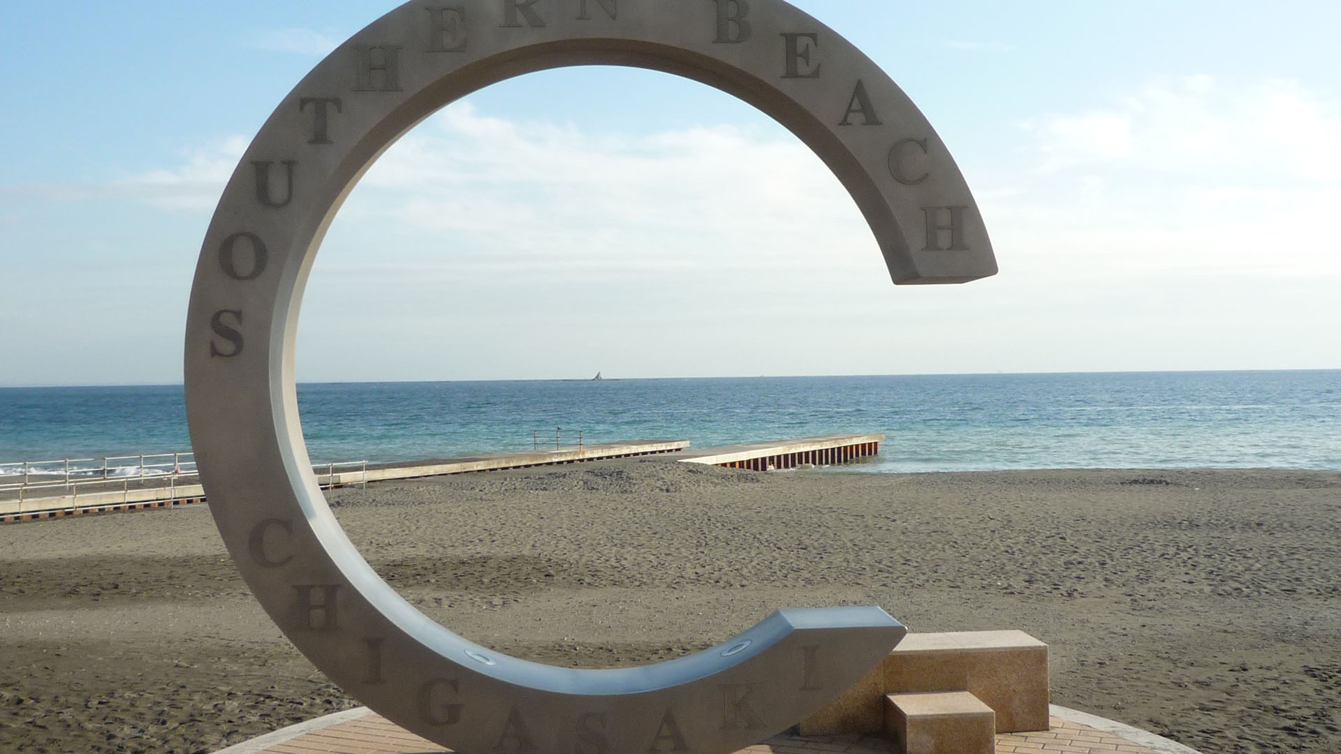
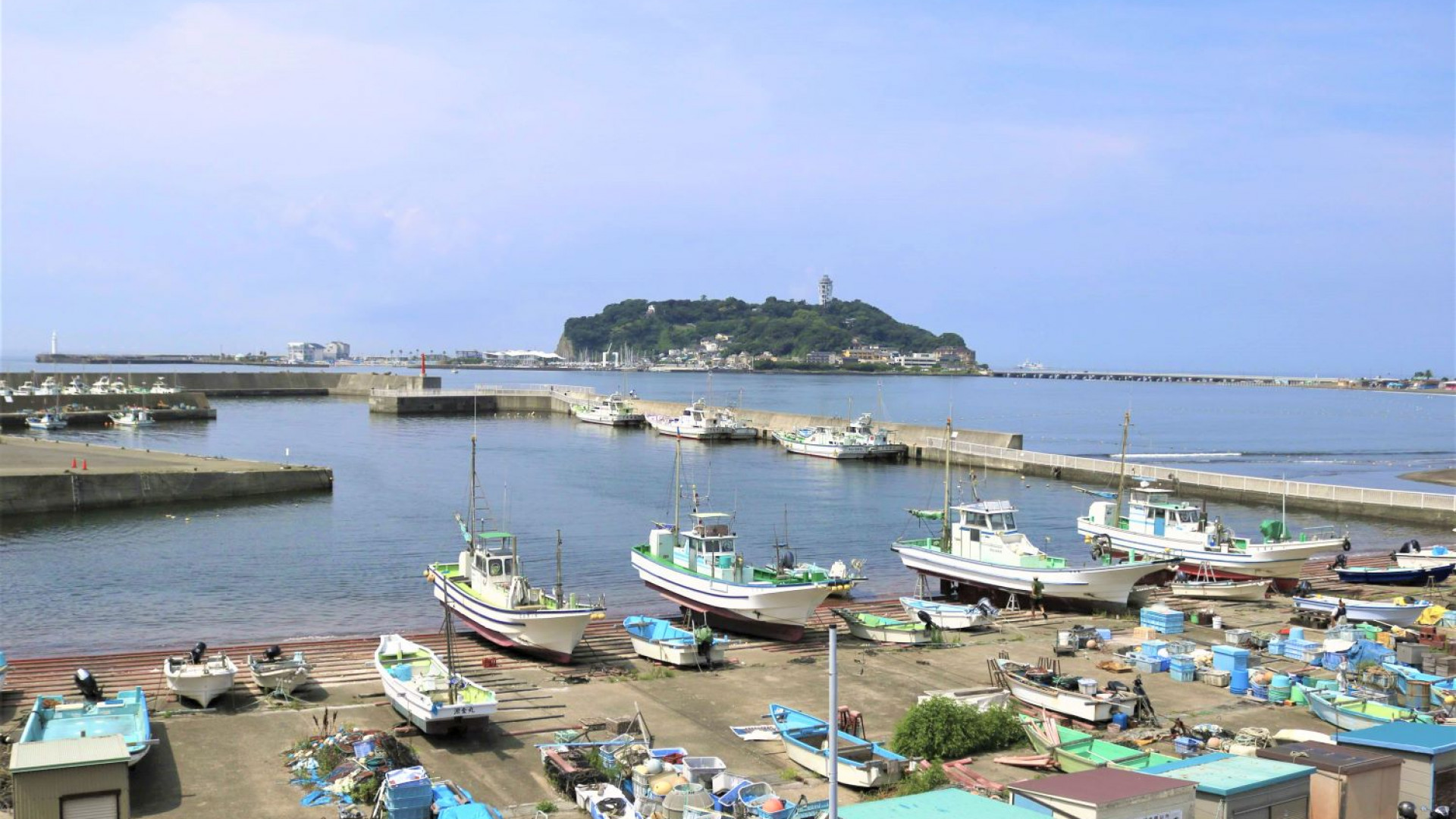
Chigasaki Southern C is the symbol of Southern Beach Chigasaki and has even fronted the Southern All Stars CD cover. This place is famous as a matchmaking (En-musubi) spot as when one stands at the right of the C, filling the gap in “C”, a circle (“En” in Japanese) will be formed, essentially tying fates (also “En” in Japanese) together. It is also famous for being a photo spot in Chigasaki where you can snap a shot with the Eboshi Rock in the middle of the C.

Nature & Views Tokaido Koshu kaido KANAGAWA